Pittsford-Brandon U.S. Route 7 Improvement Project
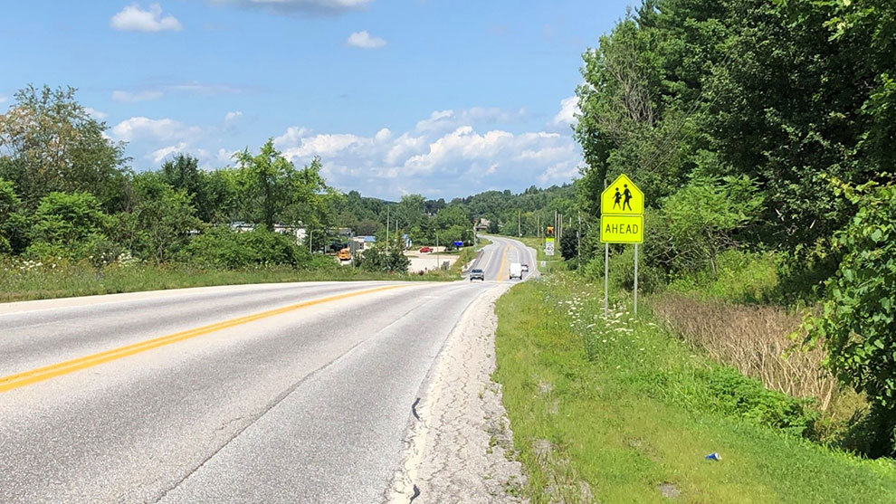
U.S. Route 7 is a principal arterial roadway on the National Highway System and is a major north-south corridor on the western side of Vermont used for shipping of goods and services. The mountainous terrain is challenging for truck drivers to maintain a consistent travel speed and the narrow shoulders do not provide a refuge for disabled vehicles or space for bicyclists.
The Vermont Agency of Transportation (VTrans) previously hired Fuss & O’Neill to complete a scoping study for the 12-mile Pittsford-Brandon corridor (U.S. Route 7). This scoping study resulted in numerous safety improvements and provided recommendations that the corridor be upgraded in six segments.
Fuss & O’Neill has been assisting VTrans to design solutions for Segments 2, 4, 5, and 6.
Fuss & O’Neill provided the design for the Pittsford Segment 2 project, which is a 1.6-mile complex urban full-depth reconstruction project. The project area includes 10 intersections, 2 bridges, an elementary school, and 2 cemeteries. This project was coordinated with Segments 1 and 3 (designed by VTrans) as well as with the replacement of the 102-foot bridge over Furnace Brook, for which Fuss & O’Neill is providing engineering services.
Challenges included coordinating the U.S. Route 7/VT Route 3/Oxbow Road intersection realignment that is located adjacent to the bridge over Furnace Brook. This intersection is constricted by the bridge on the north and a gas station/convenience store to the south, and is further complicated by a climbing lane on U.S. Route 7.
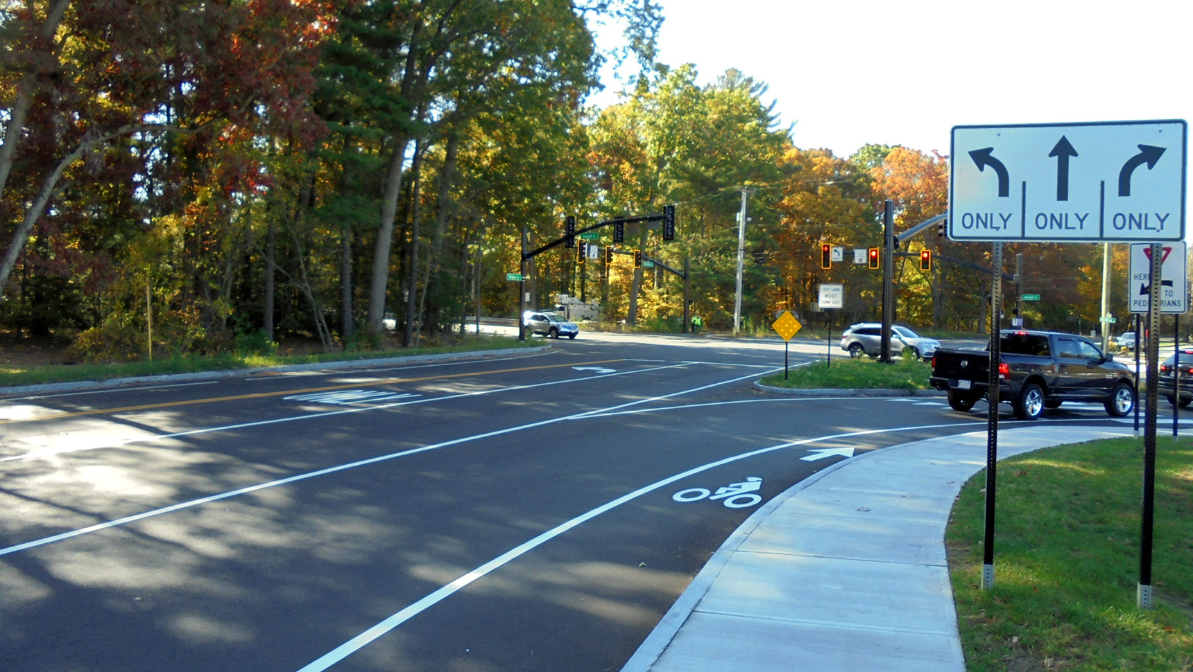
Fuss & O’Neill’s transportation engineers analyzed multiple lane configurations, which included exclusive turn lanes, as well as combined through/turn lanes with and without a traffic signal. This project establishes consistent lanes, shoulders, a curb and a sidewalk with a greenbelt, turn lanes, and upgraded drainage and signs.
This segment was coordinated with the replacement of the Town’s aging water and sewer infrastructure, and was designed with the roadway closed drainage system and aerial utility realignment. Additionally, this project included coordination with local stakeholders. We developed site-specific grading plans for several stakeholders and met with them to review impacts to their properties.
Pittsford-Brandon Segment 4 is a 1.7-mile-long full-depth reconstruction project.
Fuss & O’Neill completed the conceptual design, which included the horizontal and vertical alignments, superelevation, signage and pavement markings, and the engineer’s opinion of probable cost. We met with property owners to discuss project impacts, with the goal of mitigating opposition during the right-of-way negotiations. We completed the right-of-way plans and revisions due to negotiations and provided final design plans.
The design included 3,225-foot northbound and 1,150-foot southbound climbing lanes to facilitate the flow of traffic throughout the corridor. The shoulders were widened to accommodate bicyclists and disabled vehicles. The bridge was widened from 5-feet-wide by 6-feet-tall to 14-feet-wide by 10-feet-tall to accommodate increased runoff due. A wildlife passage was included to facilitate safe access to the Pomainville Wildlife Management Area.
A unique aspect of this project was consideration for access to the Fort Vengeance Monument, which is on the National Historic Register. Originally, there was only an informal, small pull-off for visitors. Fuss & O’Neill designed a 50-foot by 50-foot parking area with new trees for people to safely park while enjoying this historic and scenic location.

Fuss & O’Neill provided the conceptual, preliminary, right-of-way, and final designs of this 2.7-mile-long project.
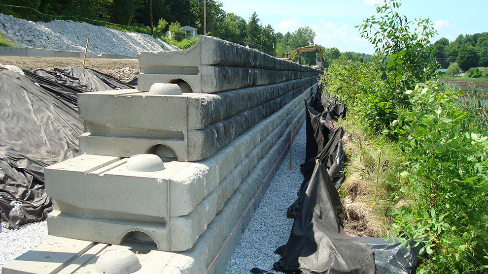
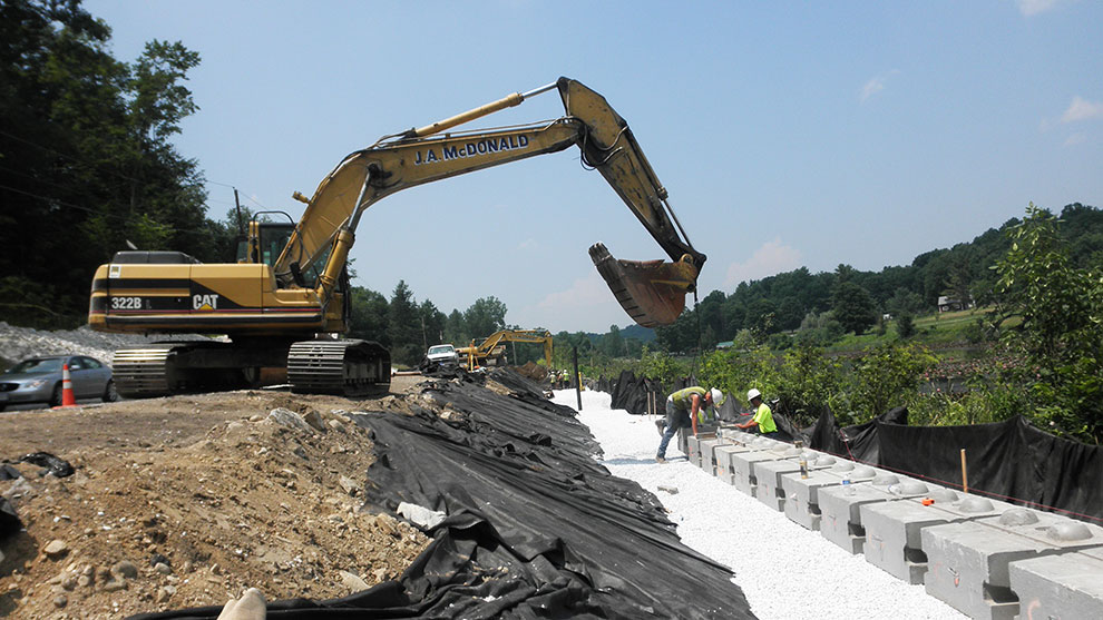
The design included the addition of turning lanes for the Otter Valley Union High School and several town highways; landscape design; development of traffic control plans; the design of a comprehensive closed drainage system and a culvert; extension of the municipal water system; aerial utility relocations; installation of a wall to avoid encroaching on Jones Mill Pond; and the development of contract plans and specifications.
The Fuss & O’Neill team facilitated and documented 53 property owner meetings to present the design and to describe associated impacts to their properties to address their concerns prior to developing the right-of-way plans and negotiations.
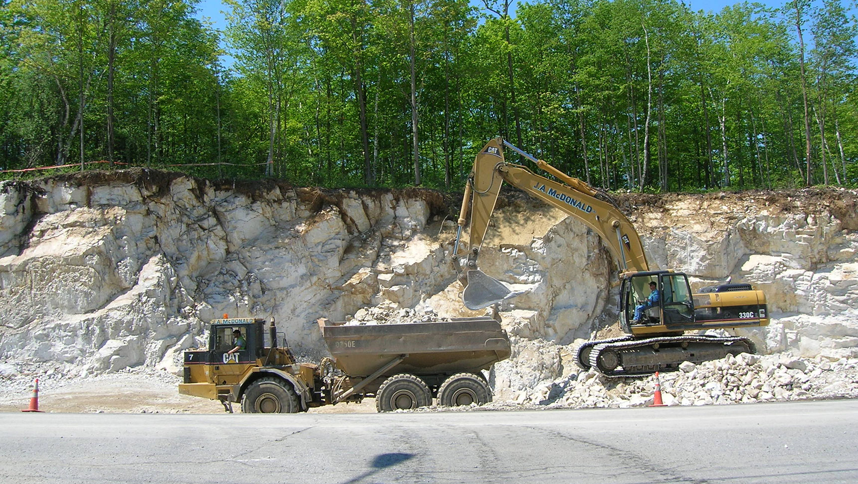
The project required the removal of 28,300 cubic yards of rock and 138,000 cubic yards of excavation. The contractor utilized a mobile crushing operation and was able to re-use this material on the project site. Utilizing the ledge and other materials reduced truck traffic through Pittsford and Brandon. This reduced impacts to these small villages, costs, and greenhouse gas emissions.
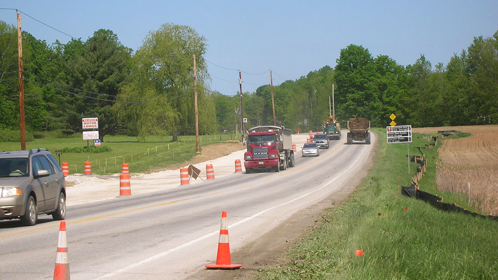
Fuss & O’Neill’s traffic engineers designed the temporary traffic control plans to accommodate two lanes of traffic during construction to minimize the impacts to a historic farm stand, Jone’s Mill Pond, and a dam during construction.
During construction, we responded to contractors’ request for information and provided design assistance for unforeseen circumstances, such as existing underdrain that was found under U.S. Route 7.
A year after Segment 5 was constructed, a tropical storm devastated downtown Brandon; however, the newly constructed roadway and drainage were unscathed, performing as designed.
Fuss & O’Neill provided the conceptual, preliminary, and final design of this one-mile-long, complex urban Municipal Assistance Bureau project.
Our scope included streetscape, landscape design, development of traffic control plans, design of a comprehensive closed drainage system, replacement of sewer and water systems, utility relocations, permitting, and the development of contract plans and specifications. Portions of the water system replacement included rerouting a critical water supply under the Neshobe River that was compromised by a tropical storm.
Fuss & O’Neill’s traffic engineers designed the temporary traffic control plans to accommodate two lanes of traffic during construction to minimize the impacts to the existing landscape features and to maintain the overall feel of the downtown area during construction.
We worked with the Town and local community groups to incorporate input gathered during site visits and meetings so that the design best met the community’s needs.
During construction, we responded to contractors’ request for information and provided design assistance for unforeseen circumstances, such as a deteriorating bridge deck.