Campus Utility Asset Management Solutions


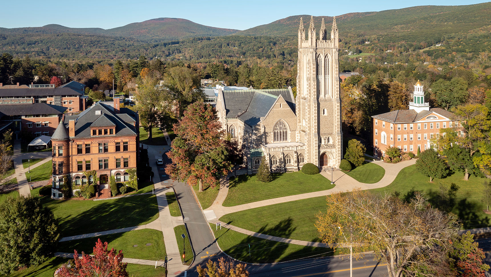
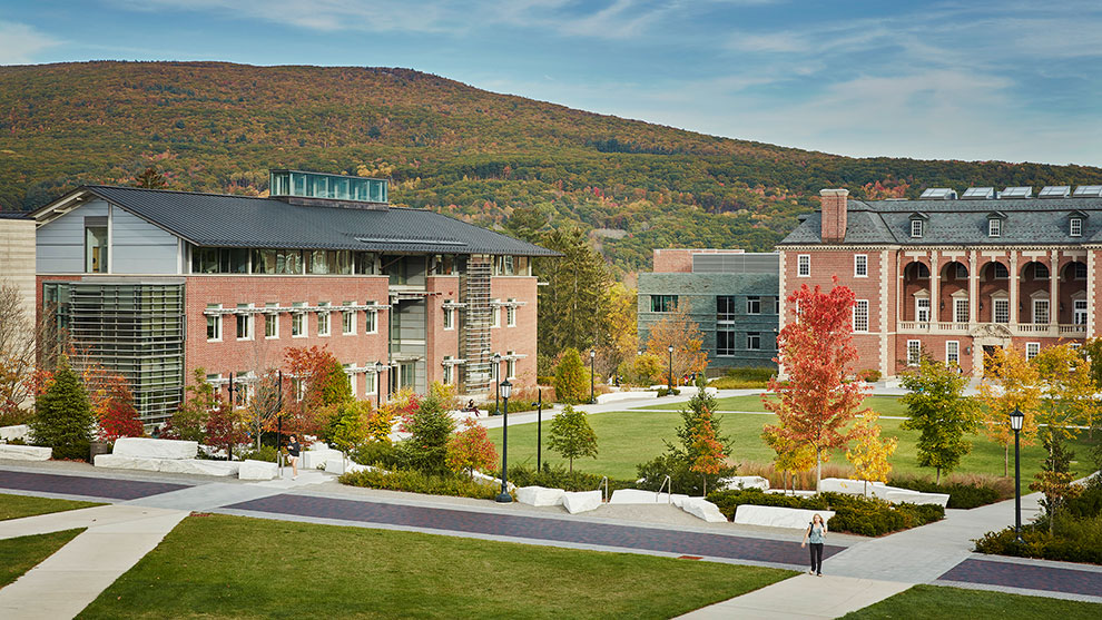
Fuss & O’Neill provides a multitude of engineering support service to Williams College, a private liberal arts college in Williamstown, MA. To help their facility and support staff better manage their facility and operations data, Fuss & O’Neill assisted in the development of Williams College ArcGIS Online platform.

Fuss & O’Neill’s in-house GIS team digitized and collated record plans and CAD (computer-aided design) information into centralized database. By centralizing the utility asset data, staff and contractors are able to easily access the most up-to-date information of underground utilities. Additionally, this created an established and easily-manageable structure to maintain data going forward.
We configured and deployed web applications to add, update, and review utility infrastructure. Being able to view assets on a computer or smartphone enables more productive planning discussions.
This was also an important safety improvement, as planners and working crews can now view utility information using mobile web applications. This helps avoid accidental digging/damaging of utility infrastructure.

The client chose to take the digitally mapped utility information and extended it to an augmented reality platform. We then configured the hardware and software so that assets beneath the ground could be visualized in 3D.
To provide additional and ongoing support, the Fuss & O’Neill team provided training and implementation of GPS equipment that is configured to update the centralized database with centimeter level accurate data.