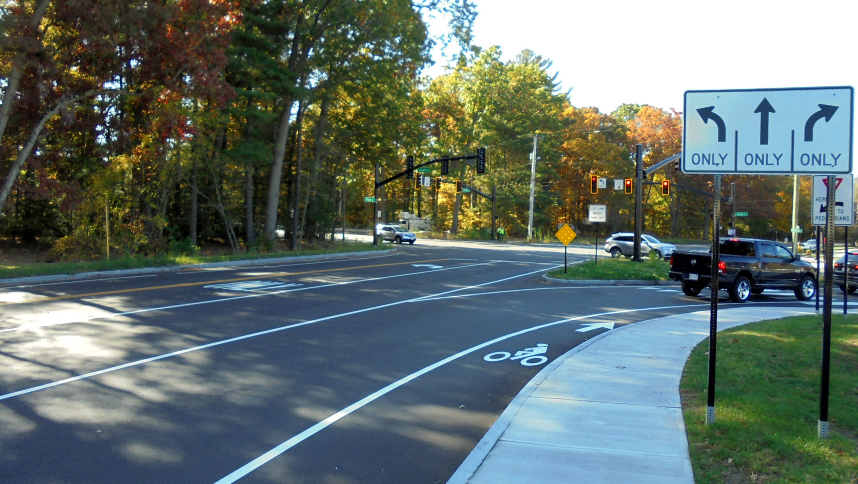

Horizontal Curve Signing Project

Fuss & O’Neill performed professional services for the Connecticut Department of Transportation (CTDOT) for the development of systematic countermeasures to reduce the instances of roadway departure crashes along horizontal curves (a horizontal curve is the bend in a road between two straight segments of roadway) on state-owned and maintained roads and ramps throughout District 1.
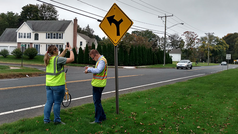
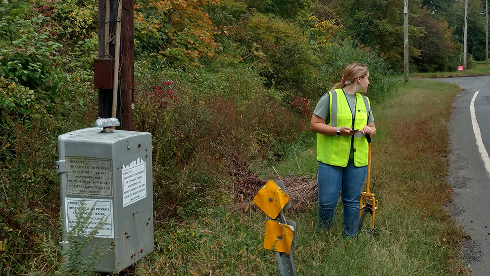
Under this project, approximately 1,750 curves were identified by CTDOT that would benefit from enhanced signing. Innovative electronic field data collection methods utilizing GIS were developed by Fuss & O’Neill and were employed to accurately locate, update attributes, and catalog photos of road-curve signs and related assets.
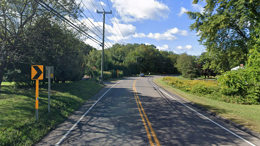
We conducted a field review of each curve, which included reviewing the existing conditions using a ball-bank indicator and GIS mapping to determine appropriate advisory speeds. The ball-bank indicator registers the overturning force (side friction), measured in degrees, on the vehicle while being driven through a curve at the currently recommended speed.
Each curve is driven three times from each direction, for a total of six passes. Data were uploaded in real time to our GIS database server and visualized in our customized project dashboard where information was QC’d and adopted to the design environment.
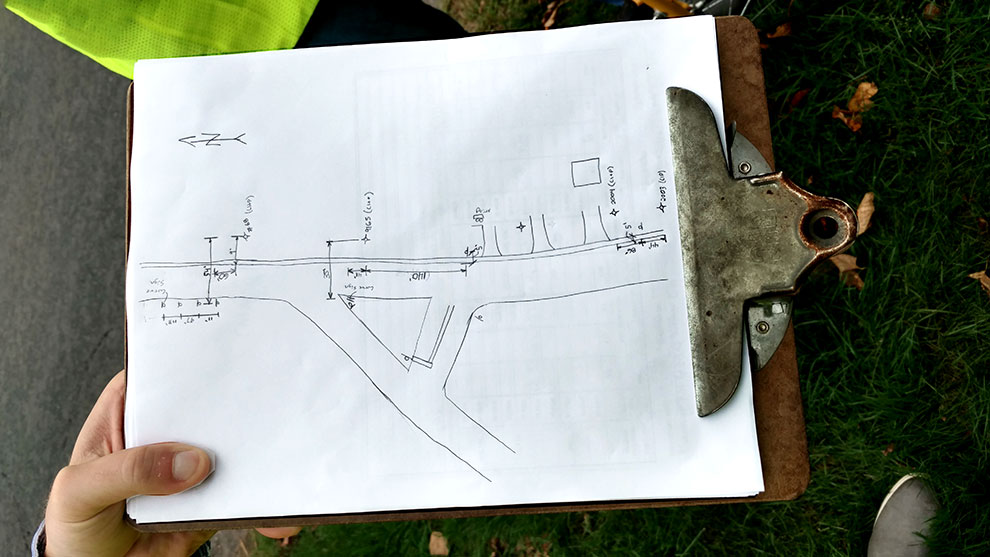
Additionally, site-specific data were recorded for context (e.g., was signage appropriately placed and in good condition, were trees overgrown and affecting the line of sight, etc.). At some sites, detailed field sketches were made, photographs were taken, measurements between points of interest (utilities, signage, road markings, etc.) were noted, sign conditions and landmarks were recorded, and recommendations were made.

During the Preliminary Design Phase, we developed curve design spreadsheets documenting the data obtained and calculated for each curve, and we created plans utilizing aerial photos that clearly showed the locations and descriptions of what signs were to be removed, installed, or reset.
Based on these spreadsheets, advanced warning signs, advisory speed plaques, and chevrons may be proposed. The proposed signs are based on the advisory speed we measured at each curve; if there is an advisory speed of 5 mph below the posted speed, an advanced warning sign is proposed. Anything greater than 5 mph requires an advanced warning sign, speed plaque, and chevrons.
The spreadsheets, plans, and corresponding estimates were submitted to CTDOT, a few routes at a time, clearly showing the locations, dimensions from fixed objects, and descriptions of what signs shall be removed, installed, or reset. The CTDOT commented on the overall plans regarding safety and placement of proposed signs.
In the Semifinal Design Phase, we incorporated CTDOT comments on the overall plans regarding safety and placement of proposed signs. Under the Final Design phase we compiled a full Traffic subset that included more than 300 plan sheets. Fuss & O’Neill developed construction plans for installing warning signs and advisory ramp speeds signs at the project locations.